
Utility tool apps provide extremely powerful and useful lightweight replacements for your parents' heavy archaic tools—everything from flashlights to tracking systems and more.
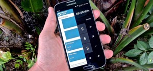
If you're looking to expand on your collection of digital tools, Maps Measure, from Android dev j4velin, created of Pedometer, turns your Android device into a distance and area measurement tool.
Computing Areas & Distances in Google Maps
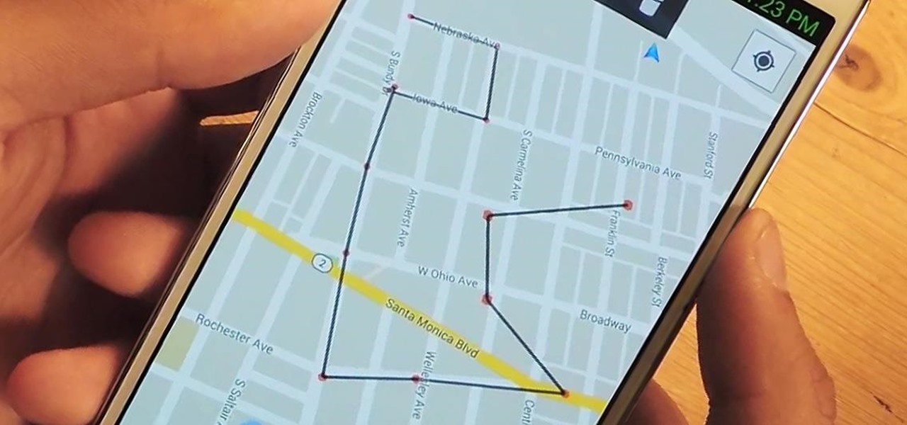
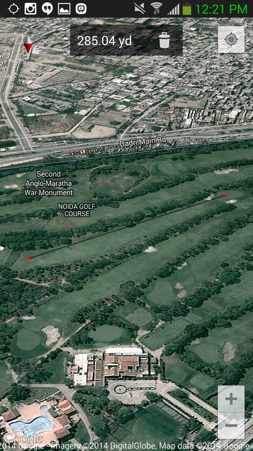
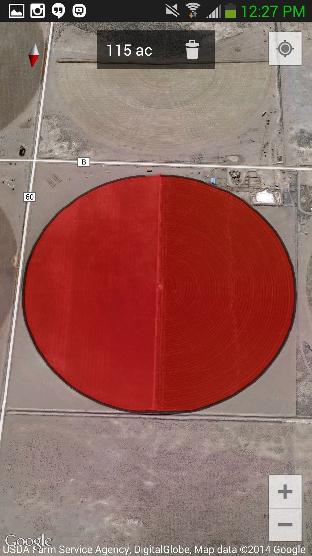
Simply put, Maps Measure allows you to plot out measurements by tapping anywhere on the screen, placing a dark grey track connecting all of the cursors you lay down.
You can lay down as many markers as needed—if you make a mistake, just tap on the trashcan icon to delete points one at a time or long-press it to delete all the points.
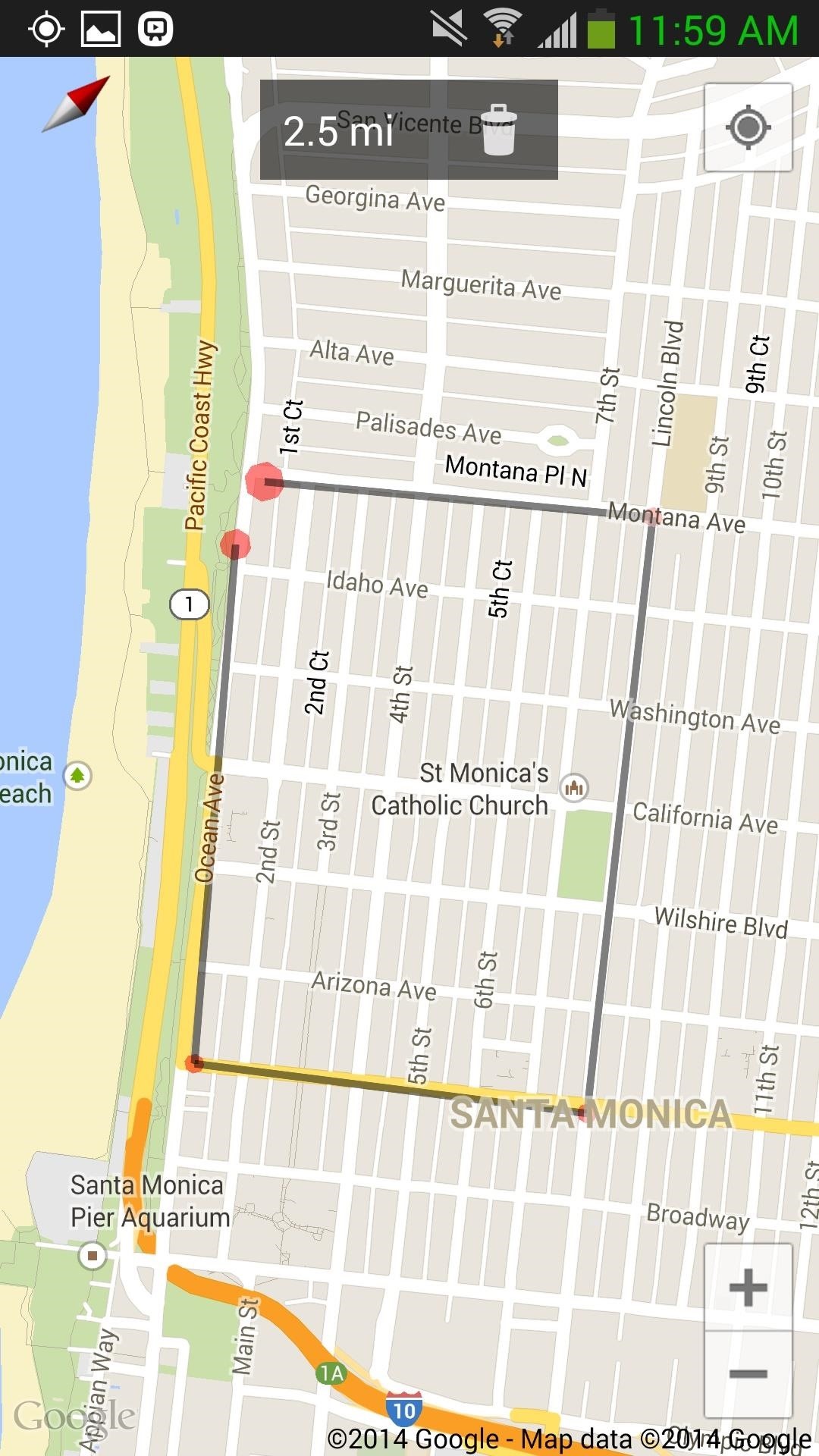
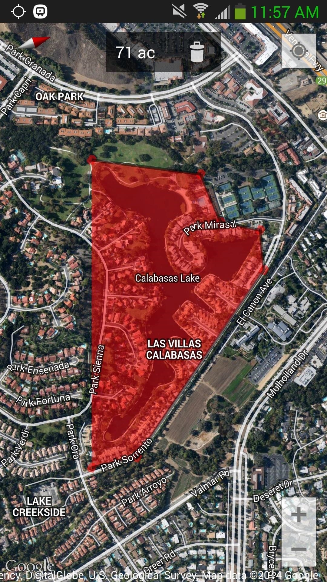
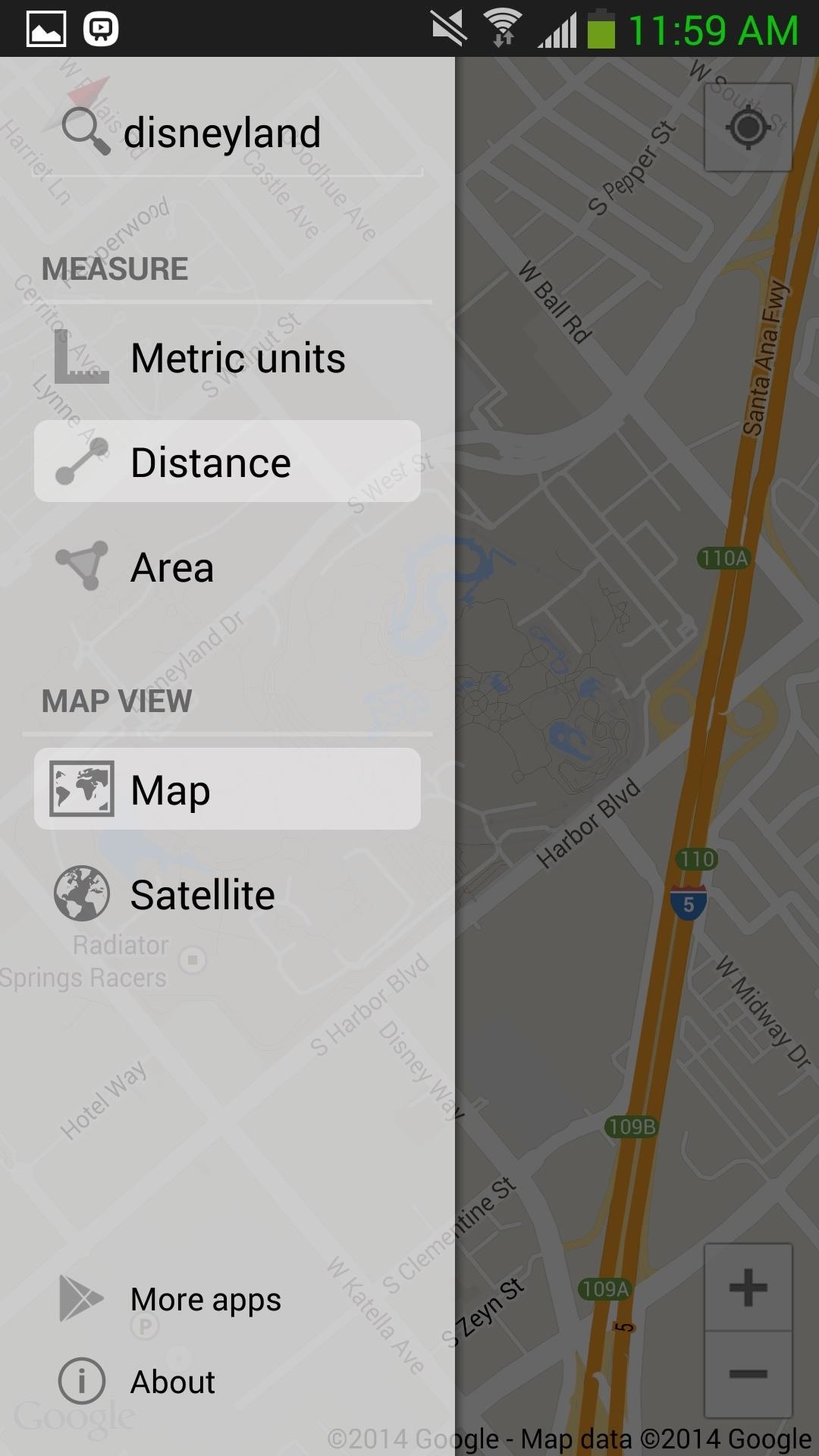
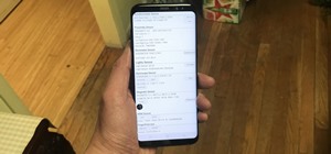
If you swipe right (from the left side of the screen) or tap on the transparent grey measurement box at the top of the screen, you'll be able to access the sidebar menu, where you can toggle between imperial or metric units, switch from map to hybrid-satellite views, and also search for specific locations.
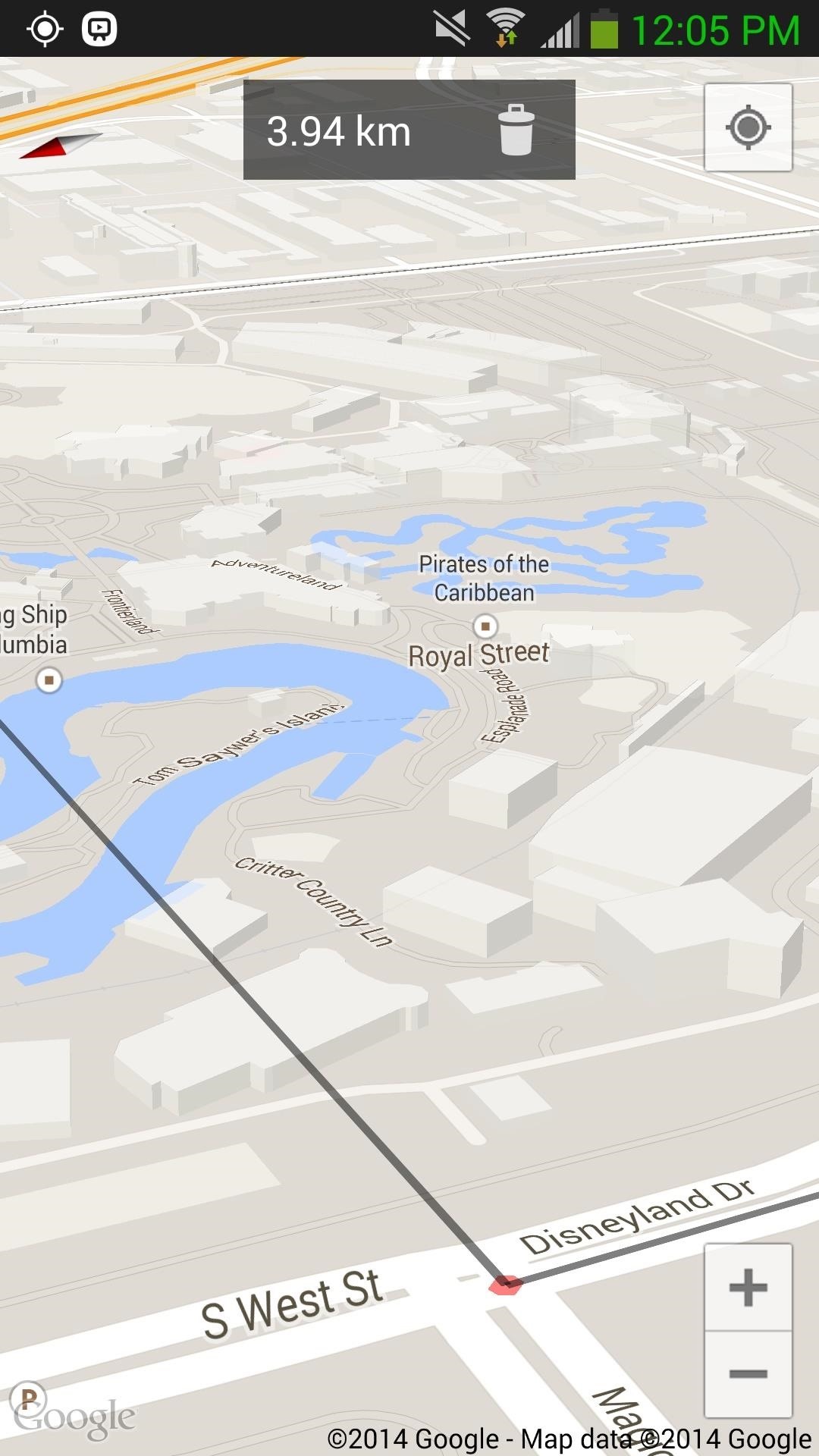
A few things I found the app extremely useful for were measuring running distances (miles), distance (yards) for golf shots, and finding the area of certain areas, which can provide convenient information for construction, landscaping, and other professional needs.
Just a few weeks ago our very own Nexus 5 softModder Dallas covered the N5's extremely powerful built-in pedometer, which coupled with this Maps Measure can make for great fitness-tracking data and a welcomed addition to your digital tool belt.
Just updated your iPhone? You'll find new emoji, enhanced security, podcast transcripts, Apple Cash virtual numbers, and other useful features. There are even new additions hidden within Safari. Find out what's new and changed on your iPhone with the iOS 17.4 update.


1 Comment
Thanks for the review.
Please check also Planimeter tool for all kinds (distance, area, bearing, perimeter, geo-coords, etc.) of measurements on Google Maps. I have been using it for a while and very pleased with the app. It also features GPS tracking that makes it perfect for automatic measurements or fitness tracking.
Share Your Thoughts